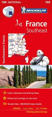
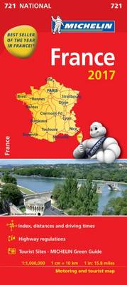
Michelin National Map Series help you easily plan your safe and enjoyable journey thanks to a comprehensive key, a complete name index as well a clever time & distance chart. Michelin's driving information will help you navigate safely in all circumstances, with scales from 1:150,000 to 1:28,500,000
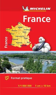
Small and practical, these maps are easy to use thanks to double sided pocket format and includes multi-language key, relief shading, spot heights and other geographical features. Ferry connections are marked but railways are not included.